Why Accurate As-Built Floor Plans are Key to Successful Renovations
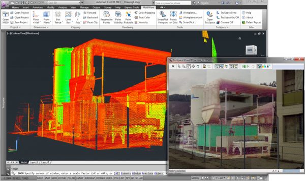
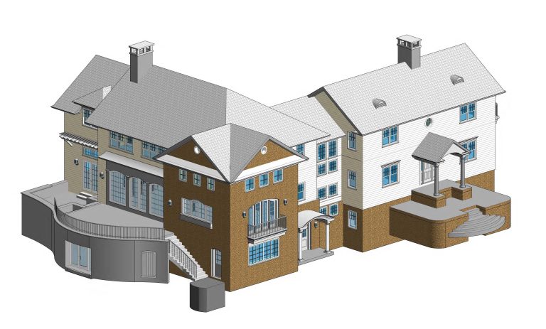
Ever tried planning a renovation with outdated or missing drawings? It’s like trying to solve a puzzle with half the pieces! That’s where we come in. We turn existing buildings into crystal clear: ✨ 3D models: Visualize your space in three dimensions to see how every detail fits together 📏 Existing Floor plans: Gain accurate,…