
H. Stanley Johnson and Company Land Surveyors
Proudly Integrated into the TC Merritts Land Surveyors Legacy of Excellence
Expert. Accurate. Complete.
Based in Westchester County, New York, TC Merritts Land Surveyors is licensed in New York and Connecticut, and has been providing its unique level of service to the region since 1980.
Our highly qualified staff delivers an extensive selection of services for a range of different clients. We offer the latest in surveying technology, maintain the highest standards of plan and mapping production, and custom tailor our services to meet the needs and requirements of any project.
Drawing on over 43 years of experience, we combine our knowledge with innovative technology to exceed our clients’ expectations.
Quality surveys that advance your project goals
Having been in business since 1980, TC Merritts Surveyors has the knowledge, skills and insight to deliver exceptional surveys of all types, including:
- Engineering and Infrastructure Land Surveys
- Real Estate Developer Land Survey Studies
- Architectural land surveys
- Topographic land surveys
- Bathymetric land surveys
- Environmental and Wetland land surveys
- As-built and final surveys
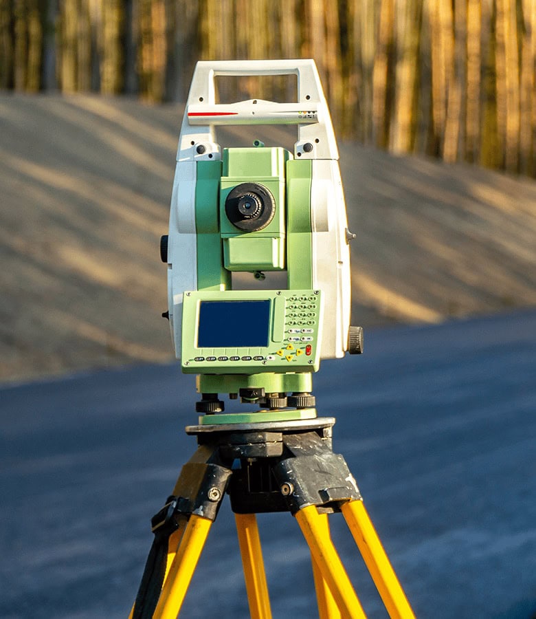
- 3D Laser Scanning
- Boundary line surveys
- Homeowner property line staking
- Construction stakeout surveys
- Elevation certificates for FEMA & building departments
- ALTA / ACSM land title surveys
- Legal descriptions of property
- Title transfer and mortgage surveys

Discover how TC Merritts can serve your specific needs

Real Estate Developers
- Engineering Design Surveys
- Construction Staking – Rough grade & site layout
- Compliance

Homeowners
- Site Analysis
- Final As-Built Survey
- Property Boundaries
- Title Insurance
- Zoning Compliance
- Topographical Data

Engineers
- Elevation Information
- Property Boundaries
- Stakeout Guidance
- Data for Design and Planning

Architects
- Site Measurements
- Building Dimensions
- Topographical Data

Title Companies
- Mortgage Closing
- Encroachment Prevention
- Clear Title Assurance

Environmental Organizations
- Impact Assessments
- Mapping and Monitoring
- Land Use Planning
- Boundary Disputes

Municipalities
- Surveys for Towns, Cities and Villages
- Determining Boundaries
- Ensuring Compliance
- Protecting Resources
- Supporting Policies

FEMA Flood Elevation Certificates
- Surveys for Towns, Cities and Villages
- Risk Protection
- FEMA Compliance
- Floodproofing
States Licensed: New York and Connecticut
Our Services
Our experienced team of professionals excels in providing tailored solutions to diverse projects, leveraging their expertise and innovative thinking to ensure outstanding quality and successful outcomes.
Land Surveying
TC Merritts delivers the full range of professional licensed land surveying and mapping services, using state-of-the-art technology to determine property boundaries, map topography, and provide the data needed for design, documentation, development and construction.
Learn more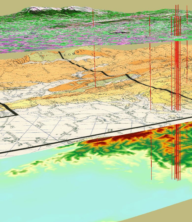
GIS
As a full-service GIS solutions provider, TC Merritts specializes in GIS conversion, geodatabase design, data management, analysis, project management, and customer support. Our experienced GIS team captures mapping data and GIS attributes from multiple sources, creating dynamic ArcView maps with assigned attributes.
Learn more
3D Laser Scanning
Using highly accurate 3D point cloud information as a base, TC Merritts produces a diverse range of useful references, including Building Information Models (BIM), 3D CAD models, 2D floor plans, Sections and Elevations.
Learn more