How We Perform Tree Surveys in Westchester County
At TC Merritts Land Surveyors, tree surveys are a vital part of the work we do across Westchester County. Whether it’s for new development, local permitting, or landscape design, our tree surveys provide detailed and accurate data that help landowners, architects, engineers, and municipalities make informed decisions.
What Is a Tree Survey?
A tree survey documents the size, species, location, and condition of trees on a property. In many municipalities across Westchester County—including towns like Scarsdale, Bronxville, and Bedford—tree surveys are required for planning board approvals, building permits, or land disturbance activities.
We bring decades of surveying experience and advanced tools to every job. Here’s how we typically approach a tree survey:
Initial Site Assessment
We begin with a review of the project scope and any applicable municipal code requirements. Some towns require identification of all trees over a certain diameter; others may focus on native species or those near property boundaries. We tailor our survey to meet those specific guidelines.
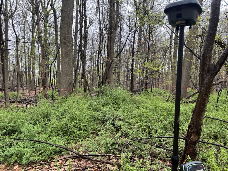
Field Work with Precision Tools
Our surveyors visit the site equipped with total stations and GNSS units.
We record:
- Tree location (mapped in coordinate system)
- Trunk diameter at breast height (DBH)
- Species identification
- Tree condition (good, fair, poor, dead)
- Notes on proximity to structures or utilities
Why Our Clients Choose Us
- Local Expertise: We’re familiar with tree ordinances across dozens of Westchester municipalities.
- Fast Turnarounds: We understand tight timelines, especially during planning board or zoning board submission windows.
- Accurate Mapping: We provide CAD and GIS deliverables tailored to your needs.
- Clear Communication: Whether you’re a developer, architect, or homeowner, we break down technical details into clear, actionable information.