Floor Plan Documentation Using the Leica BLK2GO
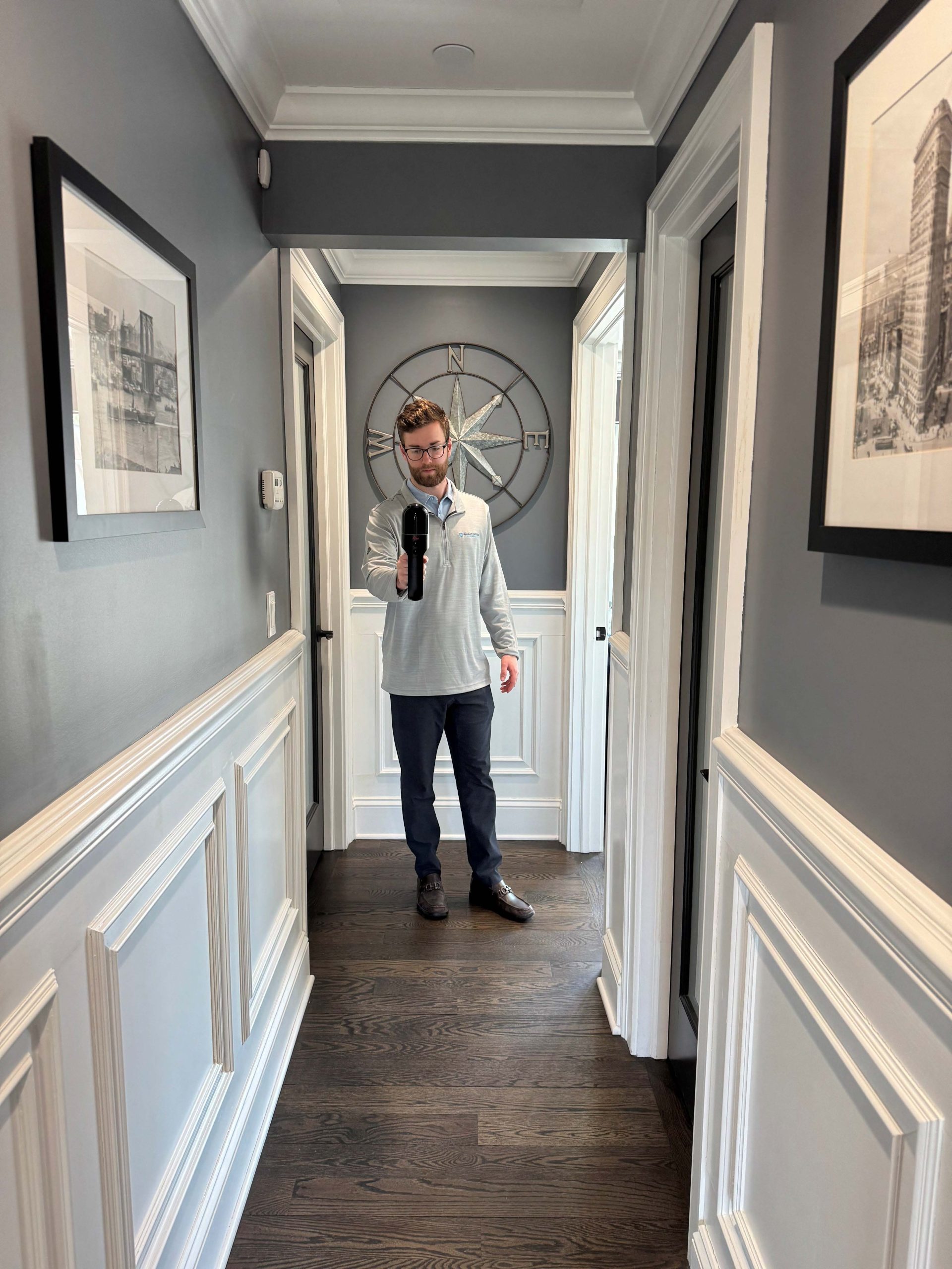
At TC Merritts Land Surveyors, we’re always staying ahead of the curve to deliver the most accurate and efficient results for our clients. Our team recently completed a floor plan scanning project using the Leica BLK2GO, one of the most advanced handheld 3D laser scanning systems available today.
If you’re looking for accurate floor plan services or 3D scanning for as-builts — here’s why this matters.
Why We Used the BLK2GO for This Floor Plan Project
The Leica BLK2GO is designed to capture real-time 3D data while walking through a building, creating a detailed point cloud that can be converted into floor plans, as-built documentation, or even BIM models.
For this project, the BLK2GO allowed us to:
✅ Capture accurate floor measurements quickly
✅ Minimize disruptions to the property owner
✅ Deliver precise 3D models and floor plans
✅ Accelerate project turnaround
Whether you’re an architect, real estate developer, or contractor, this kind of data is crucial for design, renovation, and documentation.
Benefits of 3D Scanning for Floor Plans
Using 3D scanning services for floor plans has become the gold standard in the industry. Gone are the days of tape measures and hand sketches — with devices like the BLK2GO, we can deliver:
- High-accuracy as-built surveys
- Complete interior floor plan scans
- Point cloud to CAD conversion
- Fast, reliable 3D scanning for construction projects
- Scans that support LiDAR floor plan creation and reality capture services
Looking for Accurate Floor Plans in Westchester and Beyond?
Our 3D laser scanning services are ideal for:
🏠 Residential Renovation Projects
🏢 Commercial Real Estate Transactions
🧱 Construction & Architectural Planning
🗺️ Historical Building Documentation
Located in Pleasantville, NY, TC Merritts Land Surveyors proudly serves Westchester County, Putnam County, Rockland County, and the surrounding areas with precision floor plan scanning services and 3D scanning solutions.